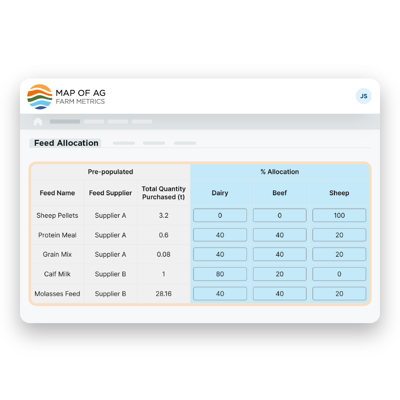
Review and edit existing connected data.
Our tools allow farms to review data ingested from existing farm data sources, and where required, edit this to ensure it matches what you need. This ensures the most flexibility for you and your farms.
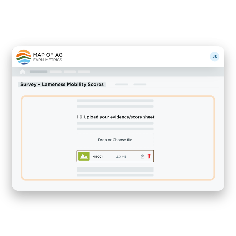
Configured to your individual needs.
We understand that data needs vary between customers and projects. We’ve built our solutions to allow specific data capture tools to be customised to meet unique requirements.


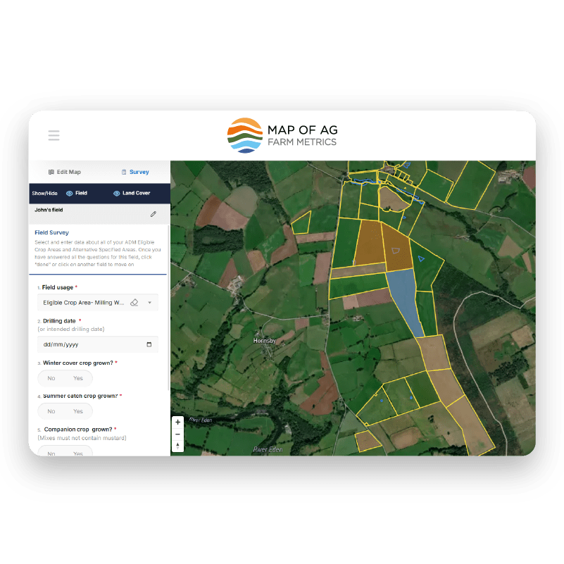
Harnessing the value of spatial data.
Our spatial mapping tool has been designed to allow farms to draw their farm map, edit fields and add non-productive land areas. This offers you quantitative nature data in the simplest way possible for farms.
